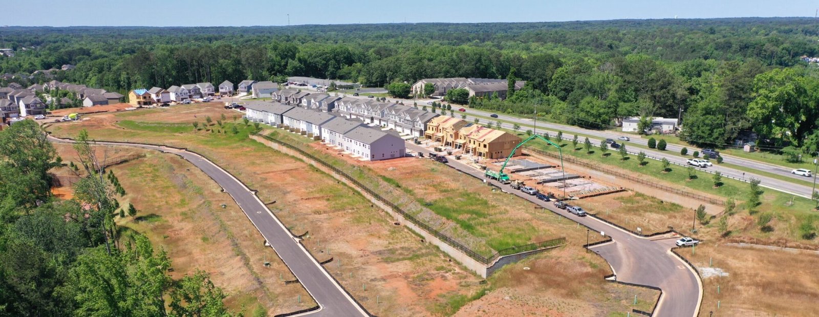
At Dronify Solutions, we help construction professionals, developers, and surveyors transform the way they manage projects with cutting-edge drone technology. Specializing in precision data acquisition, 2D/3D mapping, and aerial inspections, our mission is to deliver the actionable insights you need to make faster, smarter, and more cost-effective decisions.
We understand that time, accuracy, and safety are critical to every phase of your operation. That’s why we provide high-resolution visuals, orthomosaics, and detailed site updates that streamline project planning, track progress, and enhance communication across teams.
Based in Georgia and serving clients throughout the Southeast, we’re not just drone pilots—we’re data partners committed to helping you stay on schedule, avoid costly rework, and achieve greater project confidence from the sky down.
Build smarter. Monitor easier. Decide faster—with Dronify Solutions.