Innovation in Action
we deliver high-precision drone services designed to optimize construction workflows, enhance site visibility, and support smarter decision-making. Our solutions are tailored to meet the needs of contractors, developers, and project managers across all stages of development.
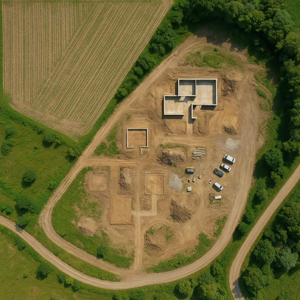
Mapping
2D and 3D mapping delivers high-resolution visuals that enhance planning, accuracy, and decision-making. Our Clients can track progress, detect issues early, and verify site details without being on location.
It improves communication across teams and speeds up data collection and reporting.
This service reduces delays, cuts costs, and brings clarity to every stage of your project.
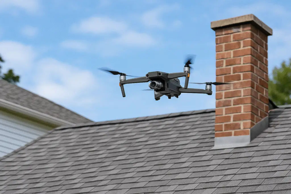
Aerial Inspections
Aerial inspections deliver fast, accurate visuals of hard-to-reach areas without disrupting your operations. They help identify issues early, reduce downtime, and significantly cut inspection costs. By minimizing the need for manual access, drone inspections enhance safety while providing clear, actionable insights to keep your project moving efficiently.
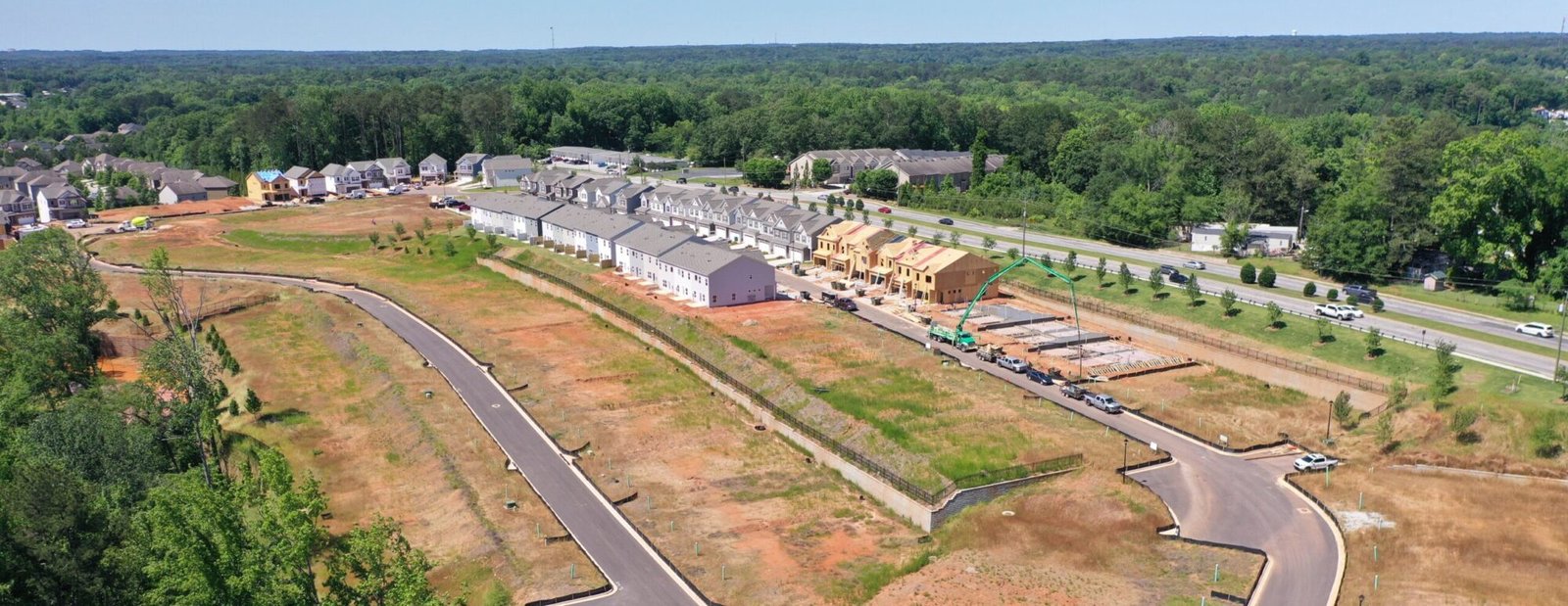
Construction Progress Monitoring
Our recurring aerial data services help construction teams stay informed with weekly or monthly updates. These progress reports support scheduling, documentation, team coordination, and dispute resolution, ensuring projects stay on track and transparent.

FAQ
What types of drone services do you offer?
We specialize in precision aerial data acquisition for construction and development projects. Our services include 2D and 3D mapping, high-resolution orthomosaics, aerial inspections, and progress monitoring. We also offer volumetric analysis to support site planning, documentation, and decision-making.
How can your drone services benefit my construction project?
Our drone solutions streamline site documentation and monitoring. With regular aerial updates, you can identify issues early, improve coordination among teams, and track progress against timelines. We provide accurate maps, models, and inspections that save time and reduce the need for manual site visits—enhancing safety and boosting productivity.
Are you licensed and insured to operate drones commercially?
Yes, we operate under FAA Part 107 regulations and maintain full commercial liability insurance. Safety and compliance are top priorities in every operation we perform, ensuring peace of mind for our clients and partners.
How often can I receive updates for ongoing projects?
We typically provide weekly or bi-weekly updates depending on your project’s needs. These include visuals, progress reports, and key insights. If you need updates more frequently, like daily monitoring, we can absolutely accommodate that—just let us know what works best for you.
How do you deliver the final results?
We provide a secure download link via email, with all requested deliverables formatted to your specifications. Files may include high-resolution images, videos, 2D maps, 3D models, and interactive panoramas. For large projects, cloud-based storage options can be arranged for continuous access.
Do I need to be on-site during a drone flight?
Not necessarily. As long as we have prior site access permission and clear project instructions, we can conduct flights independently. We do, however, welcome on-site collaboration when preferred, especially during initial visits or high-priority inspections.
Can you integrate with my existing project management software?
Yes. We can export our data in formats compatible with platforms such as AutoCAD, Revit, ArcGIS, and other construction management tools. Whether you need GeoTIFFs, point clouds, or 3D mesh files, we tailor our deliverables to fit seamlessly into your workflow.
Can drone data be used for legal or regulatory documentation?
Yes, in many cases. While we do not provide licensed surveying services, our high-resolution imagery, orthomosaics, and 3D models can support documentation for inspections, permit applications, site assessments, and environmental reporting. We work closely with engineers, surveyors, and contractors to ensure data is formatted for compliance and professional use.
Unlock Precision. Eliminate Delays. Act Now.
Every delay costs you time and money—get the data you need, fast.
Dronify Solutions delivers precise aerial insights to keep your project on track.
Avoid rework, boost efficiency, and make confident decisions today.
Don’t wait—contact us now and put drone technology to work for you.
© 2022 All Rights Reserved.